Your cart
There are no more items in your cart

- Support
- MSD Card SD Card
- Model
- BlueChart G3
- Main brand compatibility
- Garmin
0753759091606
Prodotti alternativi
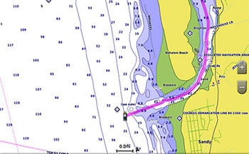
BlueChart g3 coastal charts provide industry-leading coverage, clarity and detail with integrated data from Garmin and Navionics. Also included is Auto Guidance1 technology, which uses the desired depth
The Auto Guidance feature1 calculates a suggested route using the desired depth
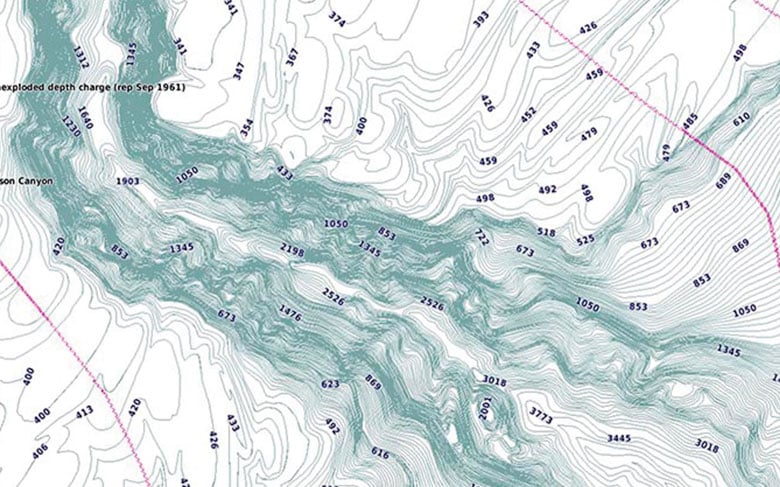
This function displays high-resolution shading of the depth range
BlueChart g3 charts include 30 cm bathymetries that provide a more accurate description of the bottom structure to create optimized fishing maps and increase the level of detail at marshes, channels, and port facilities.
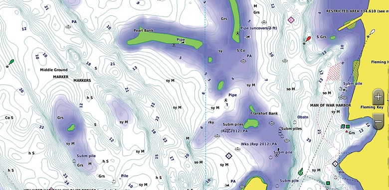
For ease of navigation, the shallow water shading feature displays map shading at user-defined depth
1 Auto Guidance is to be used for planning purposes and is not a substitute for safe navigation operations. Auto Guidance is not included in the BlueChart g3 preloaded ECHOMAPâ"¢ Plus series chartplotters
