THE NAVIONICS SUBSCRIPTION
A one-year subscription to daily updates and advanced features is included with the purchase of each new mapping solution Navionics Platinum+. After one year, you can renew at a discounted price.
MAPS AND UPDATES
Nautical Chart - Comprehensive charts derived from numerous official, government and private sources, displayed in a user-friendly manner.
HD SonarChart bathymetry- Innovative bathymetrics with 0.5 m intervals created with proprietary systems Navionics that enrich existing content with sonar data provided by the boating community.
Community Edits- Data provided by users of the Navionics Boating app that adds valuable local information accessible on your compatible smart device.
Daily Updates - - Up to 5,000 daily updates to charts give you the most accurate and up-to-date Navionics data available.
ADVANCED FEATURES
Route Guidance Dock to Dock technology- Start your journey by following a recommended route.
SonarChart Live Mapping- View new depth maps in HD that change in real time as the boat moves through the water.
Advanced Map Options - Customize the view to focus on the most important details.
Plotter Sync - Transfer routes and markers, update map layers and more between your compatible GPS plotter and the Boating app.
OVERLAYS
Relief Shading - Get a clearer and easier to interpret image of the bottom structure.
Satellite imagery with SonarChart shading - Know the situation above and below the water line.
PLATINUM+ ADDITIONAL VISUALIZATION OPTIONS
3D visualization-Adjust the perspective of the chart view to highlight key features and be situationally aware
Aerial photos-Get a more complete view of the surrounding area.
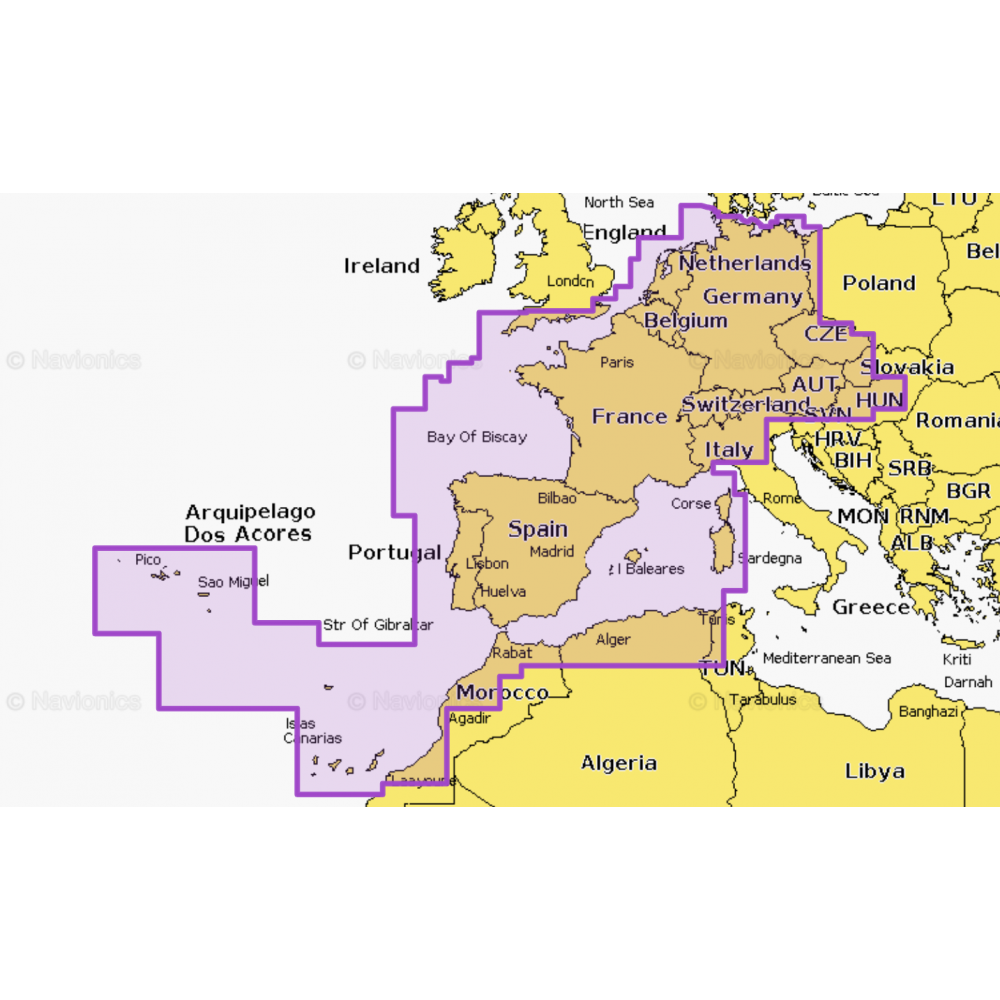
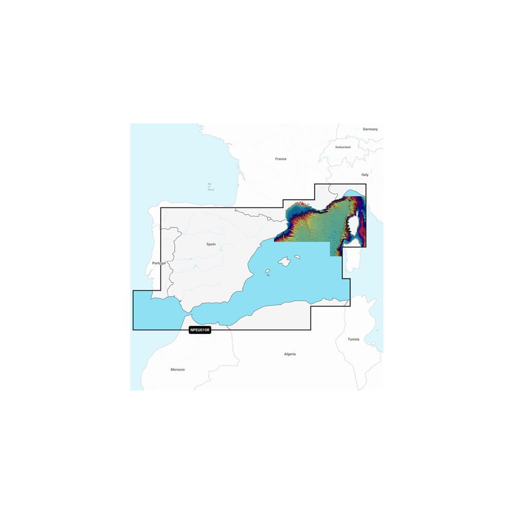
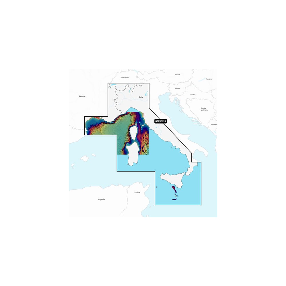
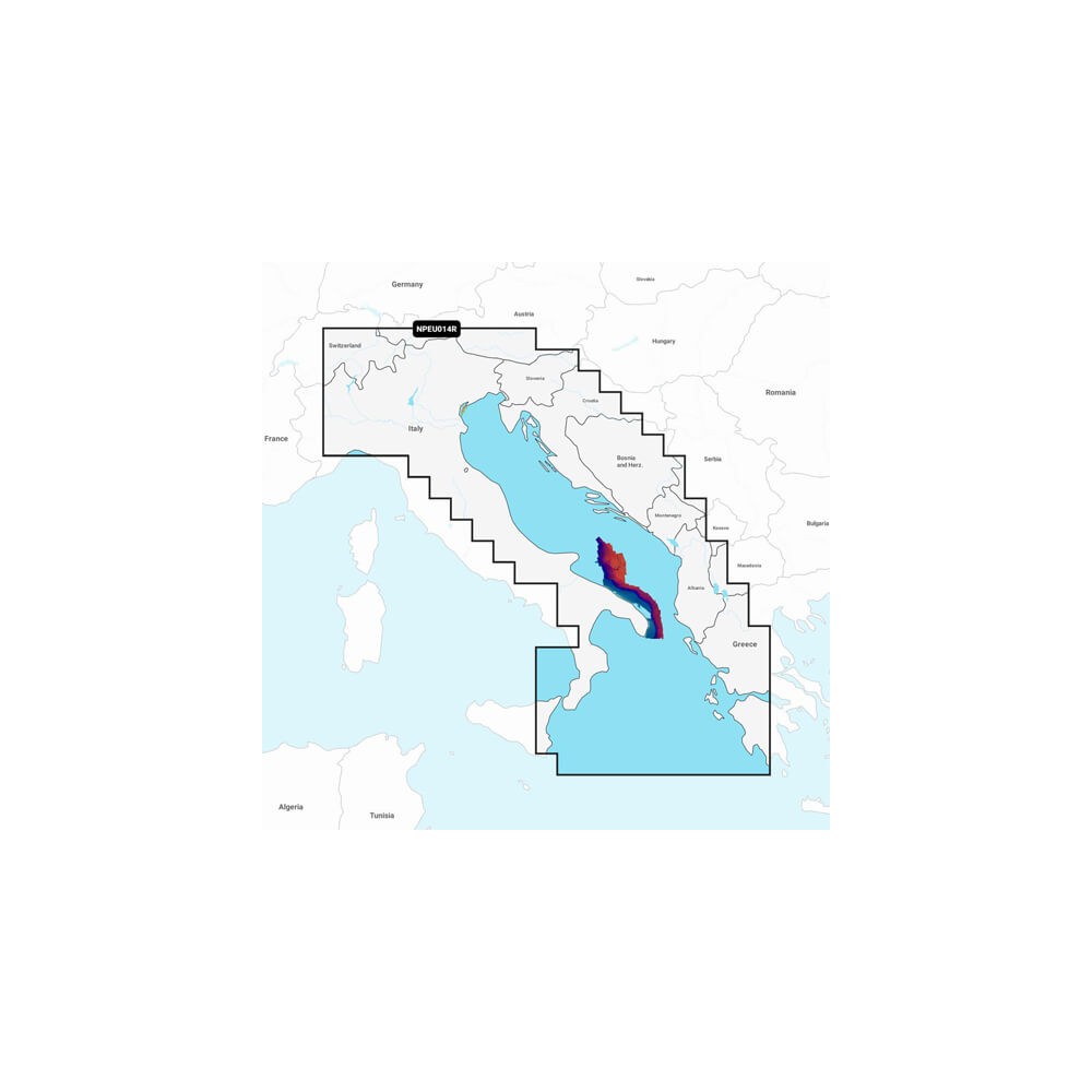
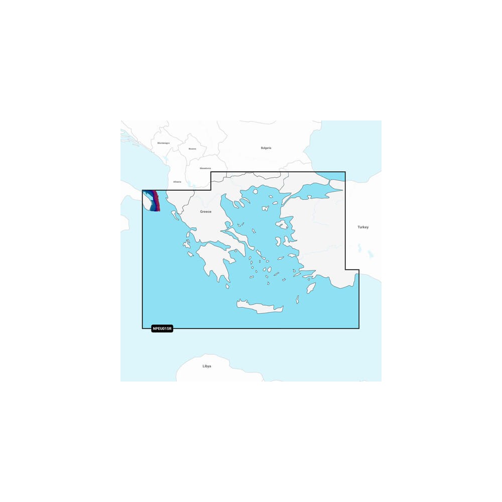
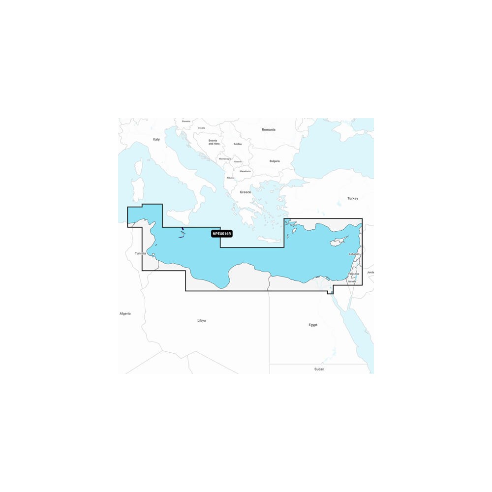
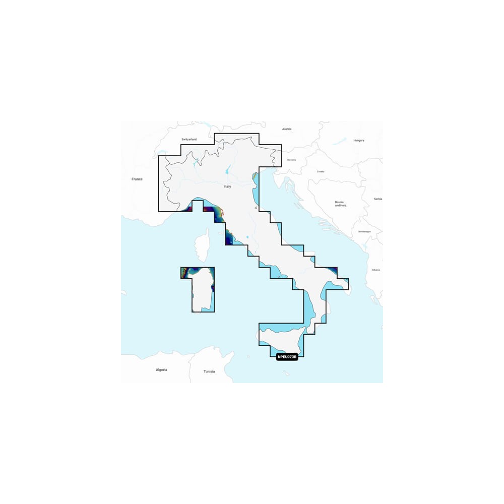
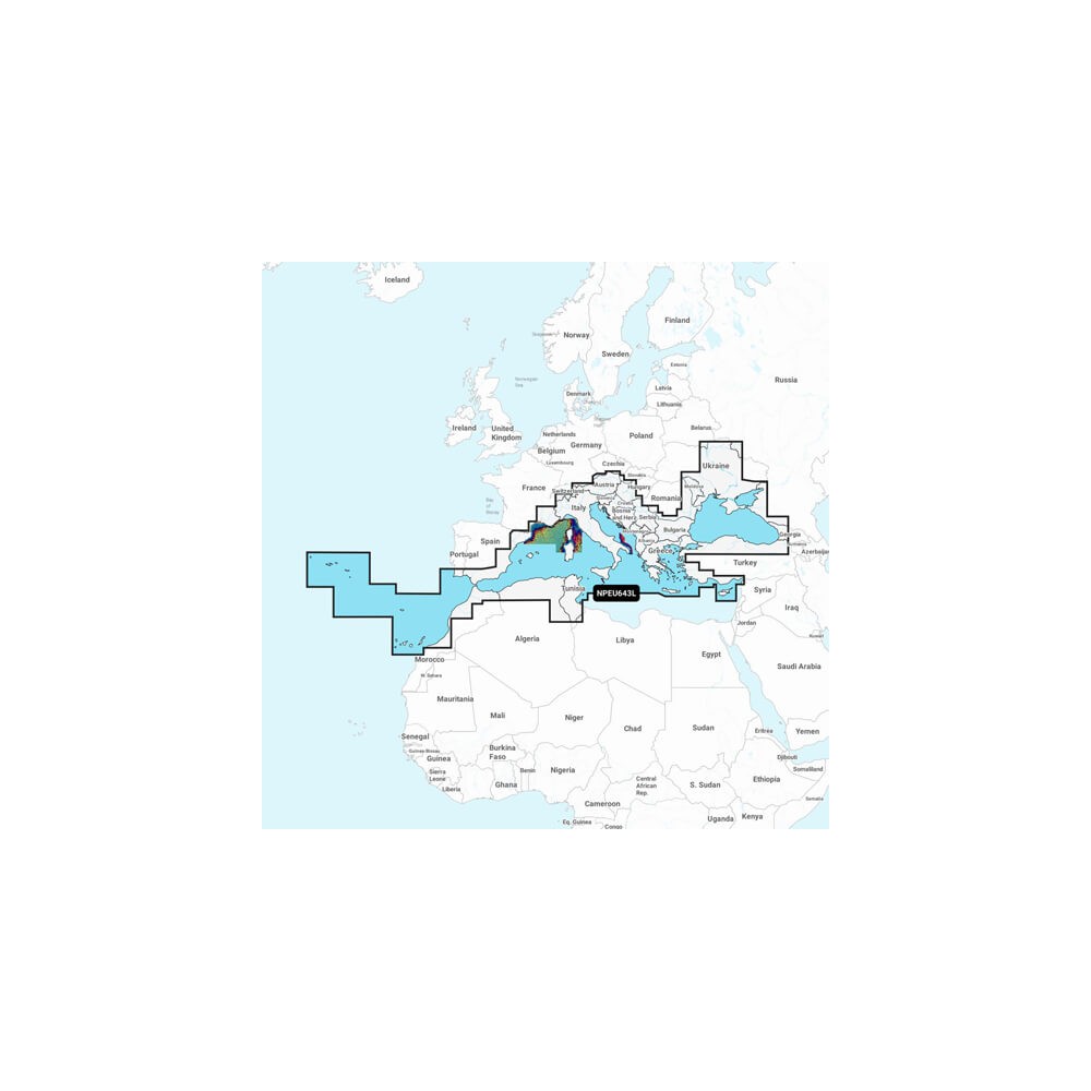
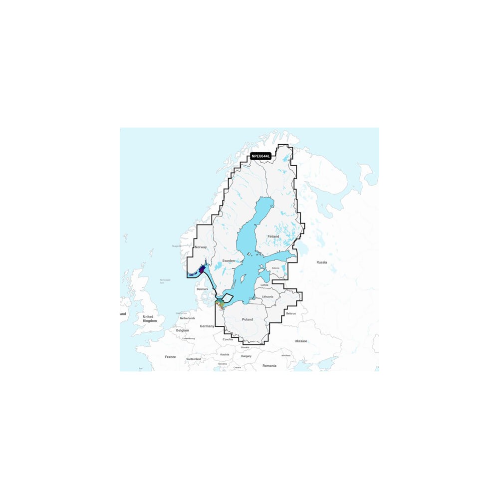
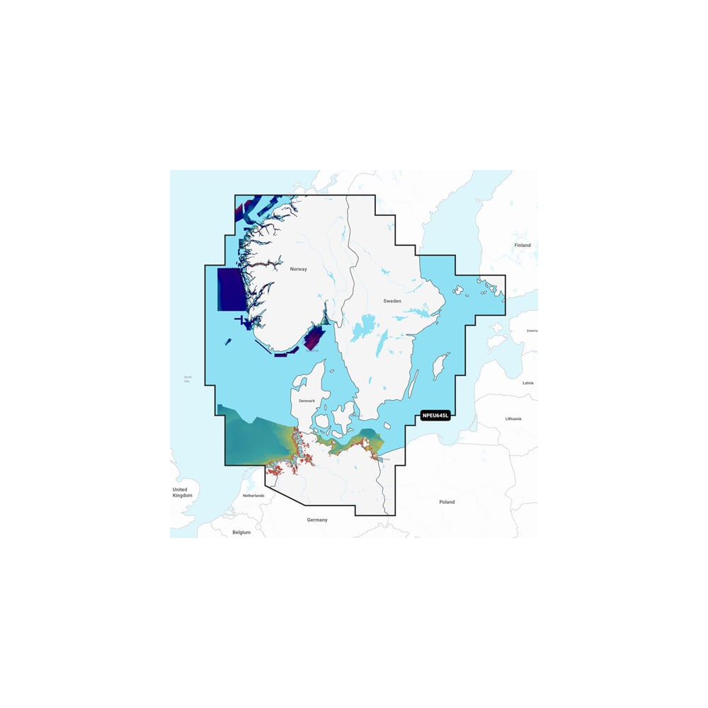
COVERAGE AREAS
Worldwide map coverage is available, with built-in content that makes it easy to select the navigation features and map regions you want. Choose from wide coverage areas (Large) or more localized map formats (Regular).
COMPATIBILITY
Check the compatibility of Platinum+ content and functions with your GPS plotter.


