- Support
- MSD Card SD Card
- Main brand compatibility
- Garmin
- -10%
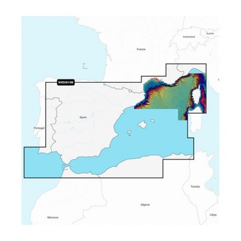
Plan your course to your paradise with the best, most up-to-date marine cartography Garmin Navionics Vision+™ premium on your compatible Garmin chartplotter. For navigation on the open ocean or along the coast, get premium charting features, including detail-rich integrated maps, high-resolution Relief Shading, 3D visualizations, satellite imagery, advanced Auto Guidance+™ technology1 and access to daily updates via the ActiveCaptain® app
Prodotti alternativi
Product Details
Description
GARMIN NAVIONICS VISION+™
- Integrated content from Garmin and Navionics®, with an updated color palette and Navionics style appearance, provides coverage, clarity and exceptional detail.
- Easy access to daily chart updates is available through the ActiveCaptain® app.
- Built-in Auto Guidance+™ technology uses your depth and vertical footprint, combined with frequently used chart data and routes, to calculate a suggested route to follow from pier to pier.
- The high-resolution Relief Shading feature combines colors and shadows to give you an image of the seabed that is easy to interpret and clearer than depth lines alone.
- High-resolution satellite images superimposed on navigation charts give you a realistic view of your surroundings, ideal for entering unfamiliar harbors.
- Aerial images of harbors, bridges, piers, nautical landmarks, and more give you greater insight into your surroundings above the waterline.
- Exclusive 3D visualizations, such as MarinerEye and FishEye, provide additional perspective above and below the waterline.
- Depth range shading allows you to select up to 10 shading color options and instantly view the desired depths.
- For optimal navigation and fishing, depth lines up to 50 cm on charts provide a more detailed representation of the bottom structure.
- For ease of navigation, the shallow water shading feature highlights depths down to a user-defined level.
- ActiveCaptain® Community content provides valuable points of interest, recommendations, and tips from boaters experienced in the local environment.
- Worldwide coverage available.
- Available on microSD™ cards or via download (each geographic area sold separately); chart updates are available via an annual renewable subscription (first year of updates included).


